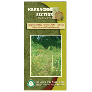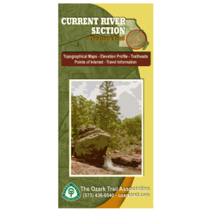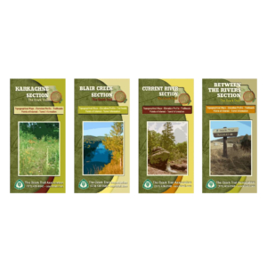
Description
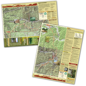
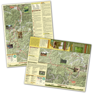
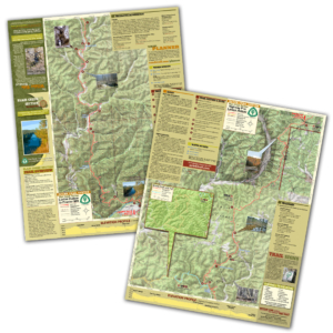
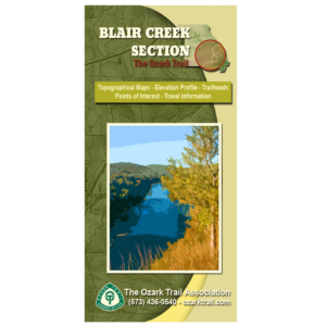
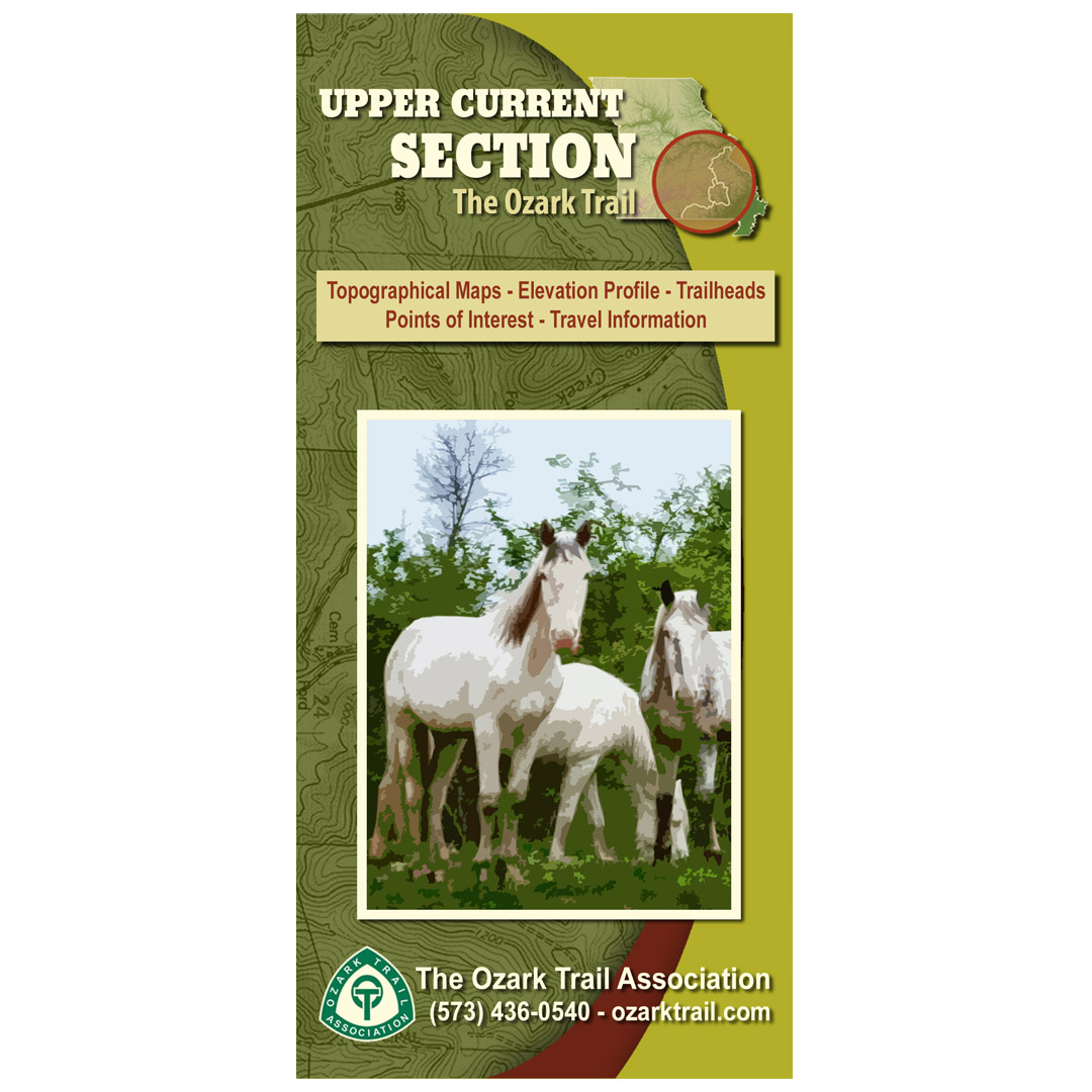
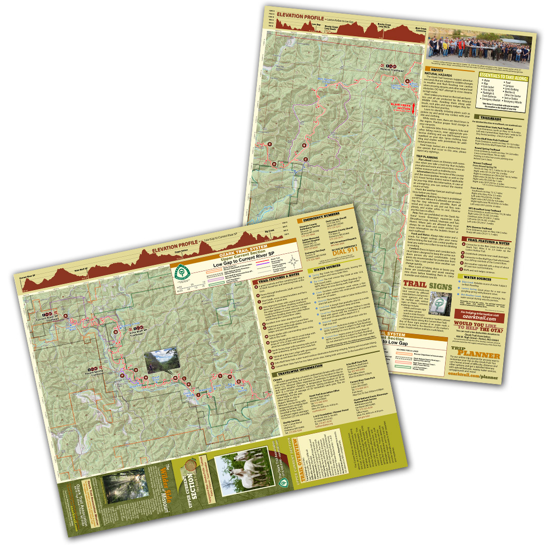
A good trail and a good map go hand-in-hand, and we’ve mapped out each section of the Ozark Trail for you! Our topographical section maps include elevation profiles, trailheads, points of interest, traveler information and more. These high-quality maps are printed on waterproof and tear-resistant paper.
The Current River as viewed from above, as it is from several points along the Upper Current section, is among Missouri’s most beautiful and inspiring landscapes. This trail takes users through dark hollows and along towering bluffs, beneath richly diverse hardwood and pine forests, across open glades offering sweeping vistas of the river valley below, and passing by waterfalls and clear, cold spring-fed streams. These are the landscape attributes which define the exceptional region, and this trail will provide intimate access to their beauties and mysteries.