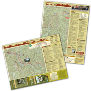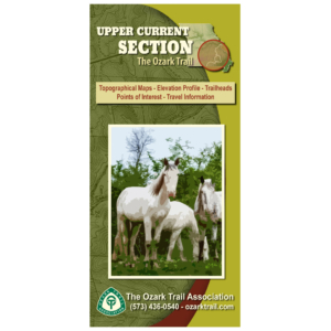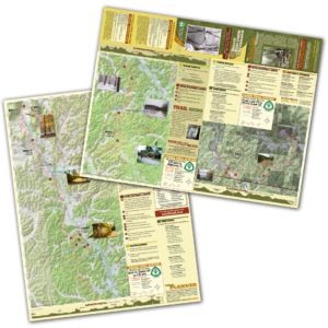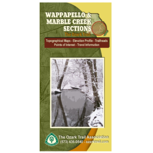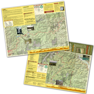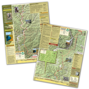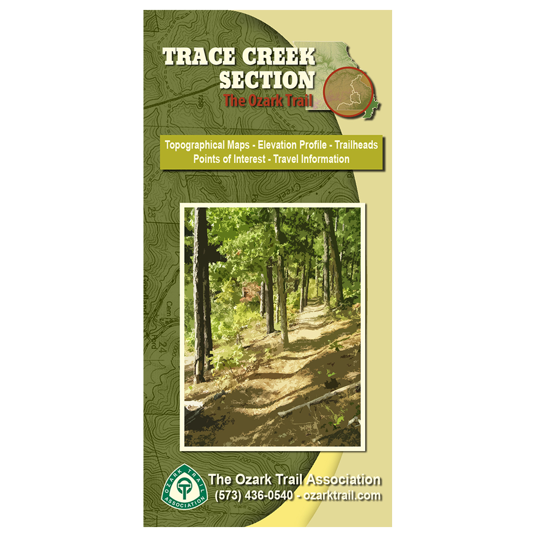
Description
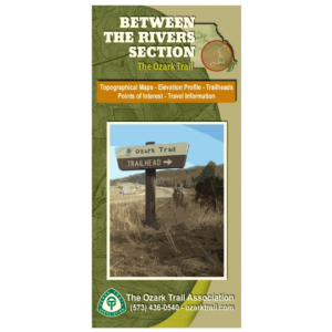
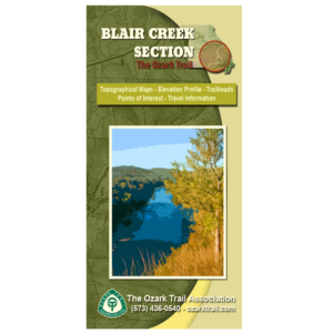
A good trail and a good map go hand-in-hand, and we’ve mapped out each section of the Ozark Trail for you! Our topographical section maps include elevation profiles, trailheads, points of interest, traveler information and more. These high-quality maps are printed on waterproof and tear-resistant paper.
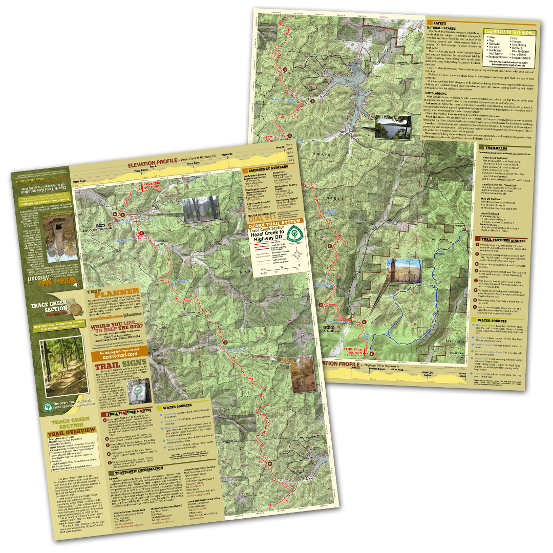
This area of the Ozark Trail lies southwest of Potosi in an area steeped with history and full of hidden delights. It crosses mossy-green streams, passes a nice spring, and has good grades through hardwood forests with occasional pines. The south end of this area includes the 12-mile Council Bluff Lake loop trail.