Description
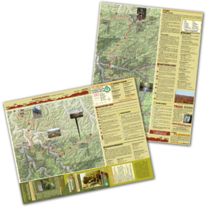
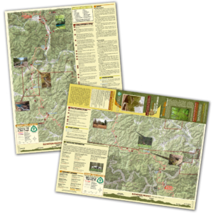
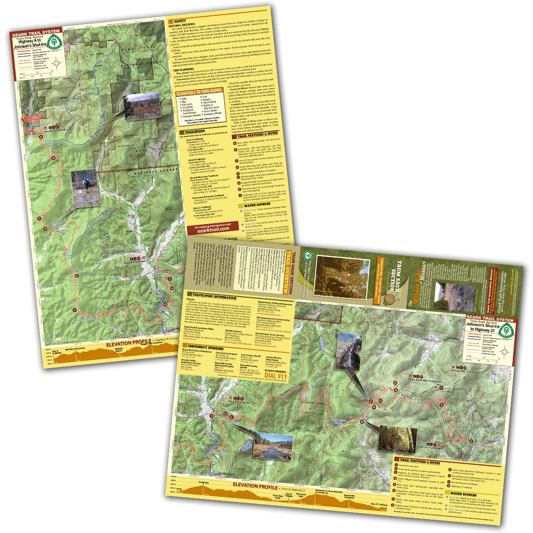
A good trail and a good map go hand-in-hand, and we’ve mapped out each section of the Ozark Trail for you! Our topographical section maps include elevation profiles, trailheads, points of interest, traveler information and more. These high-quality maps are printed on waterproof and tear-resistant paper.
The portion of the Ozark Trail between Taum Sauk and Johnson’s Shut-Ins is one of the best trails in Missouri. It combines the state’s highest point, tallest waterfall, oldest rock, steepest glade, and best swimming hole. The section lends itself to two different hikes of approximately the same distance: from Highway A to the Shut-Ins (15 miles) and from the Shut-Ins to Taum Sauk (12.5 miles). Due to elevation changes and rough terrain, this trail will slow your average travel speed. Look for cairns marking the trail in igneous glades to keep on course.