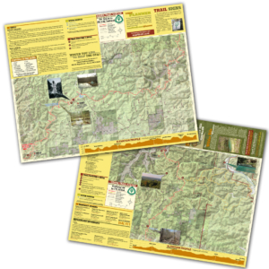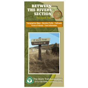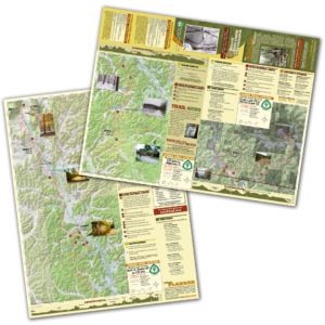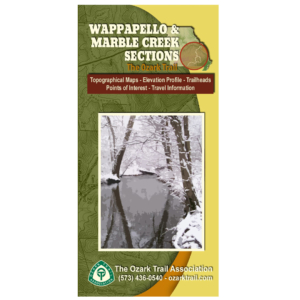
Description
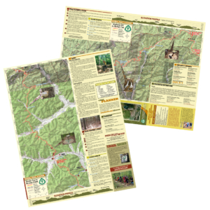
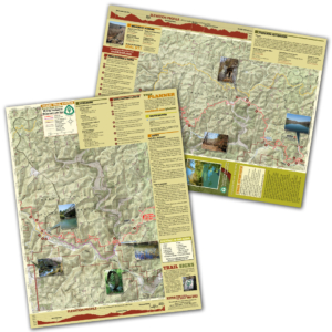
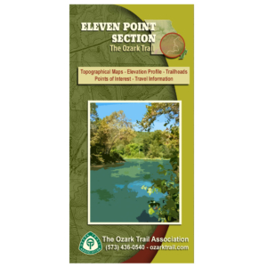
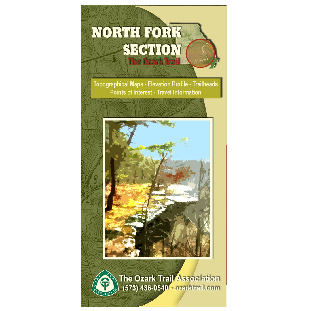
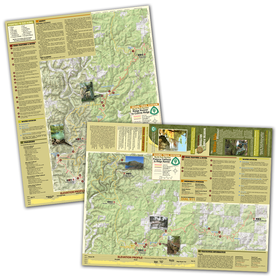
A good trail and a good map go hand-in-hand, and we’ve mapped out each section of the Ozark Trail for you! Our topographical section maps include elevation profiles, trailheads, points of interest, traveler information and more. These high-quality maps are printed on waterproof and tear-resistant paper.
As the southernmost section of the Ozark Trail, the North Fork may be unknown to many but it has a lot to offer: promontories with great views, quiet hollows and the best whitewater in Missouri on the North Fork River. This section is also a gateway to other scenic areas including the Devils Backbone Wilderness, Noblett Lake Recreational Area and the Blue Buck Knob National Scenic Byway. Consider planning trips on the connecting Devil’s Backbone and Hammonds Mill trails plus nearby Noblett Lake Loop. The Ridge Runner trail is also a connector and runs concurrently with the North Fork for approximately 7 ¼ miles. Check out Missouri’s “other” Blue Spring with a short trip from the trail to relax or camp in the pines. Visit the Missouri Children’s Forest, dedicated by the U.S. Forest Service to protecting old growth forests. The North Fork section of the Ozark Trail is remote but full of hidden treasures.