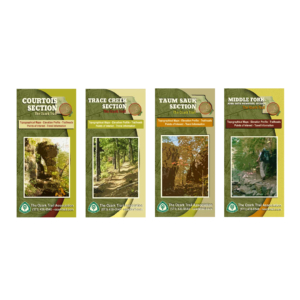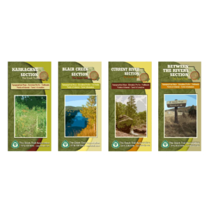
Description
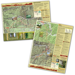
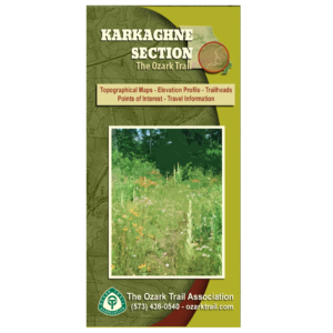
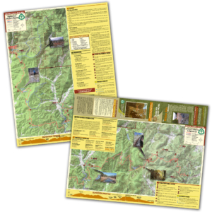
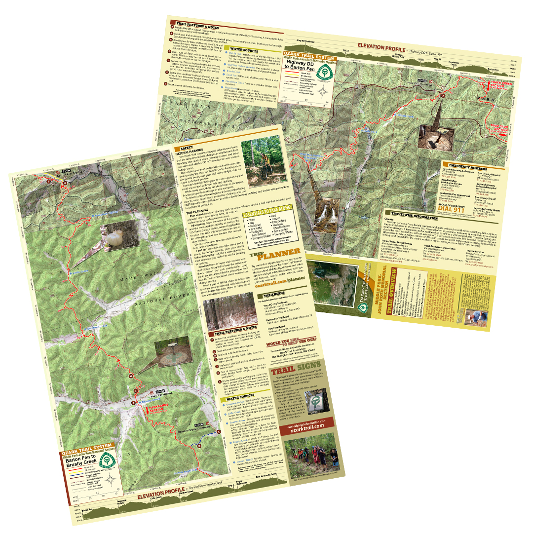
A good trail and a good map go hand-in-hand, and we’ve mapped out each section of the Ozark Trail for you! Our topographical section maps include elevation profiles, trailheads, points of interest, traveler information and more. These high-quality maps are printed on waterproof and tear-resistant paper.
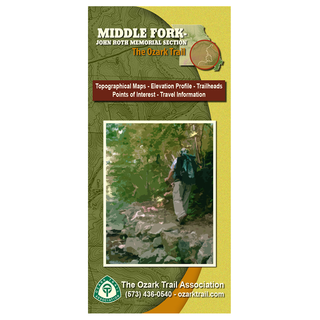
This section lies at the headwaters of the Middle Fork of the Black River in the eastern Ozarks. This deceivingly rugged country includes 200-foot hollows, creeks, springs and a small waterfall. Good grades run through dense hardwoods and stands of pine. Winter brings out the true topography while spring and summer showcase flamboyant color and growth. Always thinly populated, this section of the trail retains a remote feel in its Ozark “hollers and cricks.”