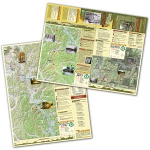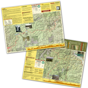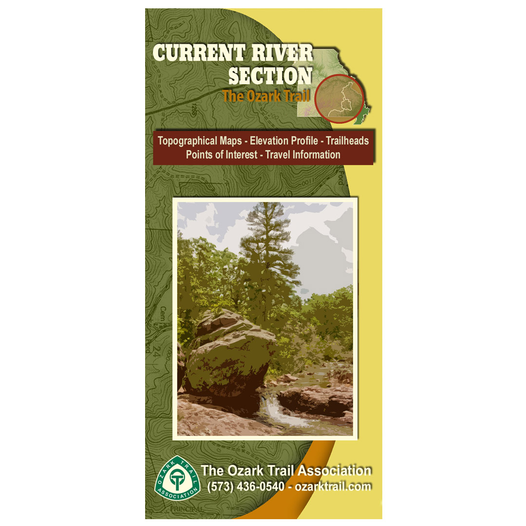
Description
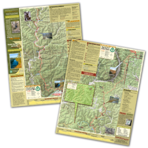
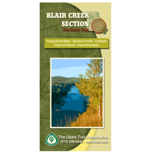
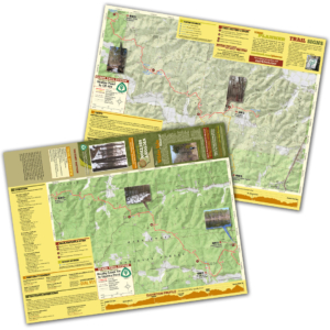
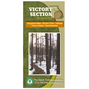
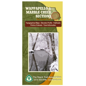
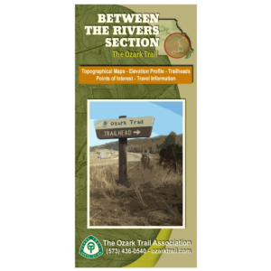
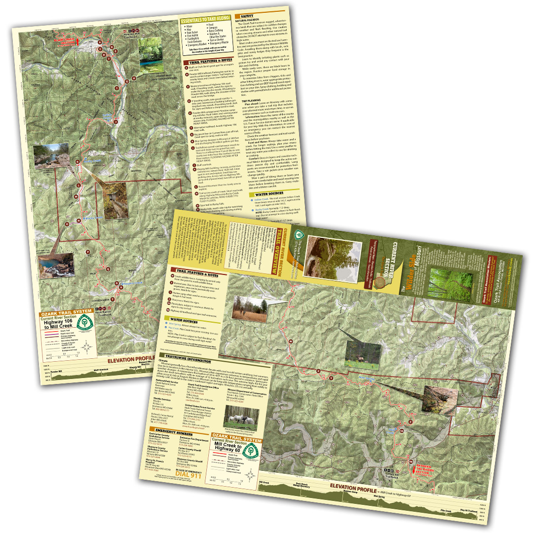
A good trail and a good map go hand-in-hand, and we’ve mapped out each section of the Ozark Trail for you! Our topographical section maps include elevation profiles, trailheads, points of interest, traveler information and more. These high-quality maps are printed on waterproof and tear-resistant paper.
No trail encompasses the heart, soul, and history of the Ozarks like the Current River section of the Ozark Trail. Running from Owls Bend to Highway 60 just west of Van Buren, this 30-mile trail is a magnificent tour of springs, streams, glades, waterfalls and Missouri heritage. Among the springs that dot this area is deep-aqua Blue Spring just south of Owls Bend. Rocky Creek Conservation Area offers multiple falls and shut-ins. The Peck Ranch State Conservation area is home to elk, absent from Missouri since the 1860s, and reintroduced in 2011. Near Round Spring, a herd of wild horses roam and are occasionally visible from the trail. This area is a treasure trove in the heart of the Ozarks and the Current River section is one of the crown jewels.