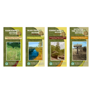
Description
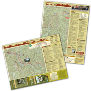
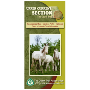
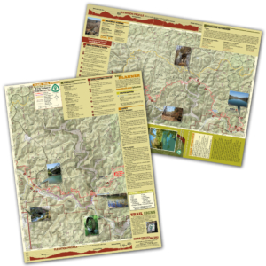
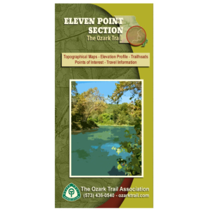
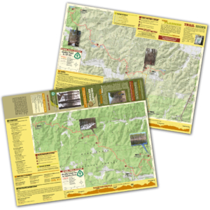
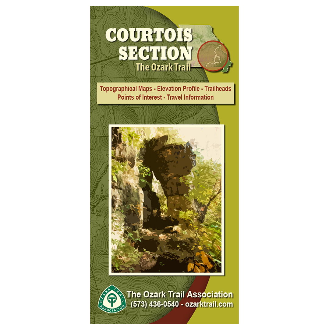
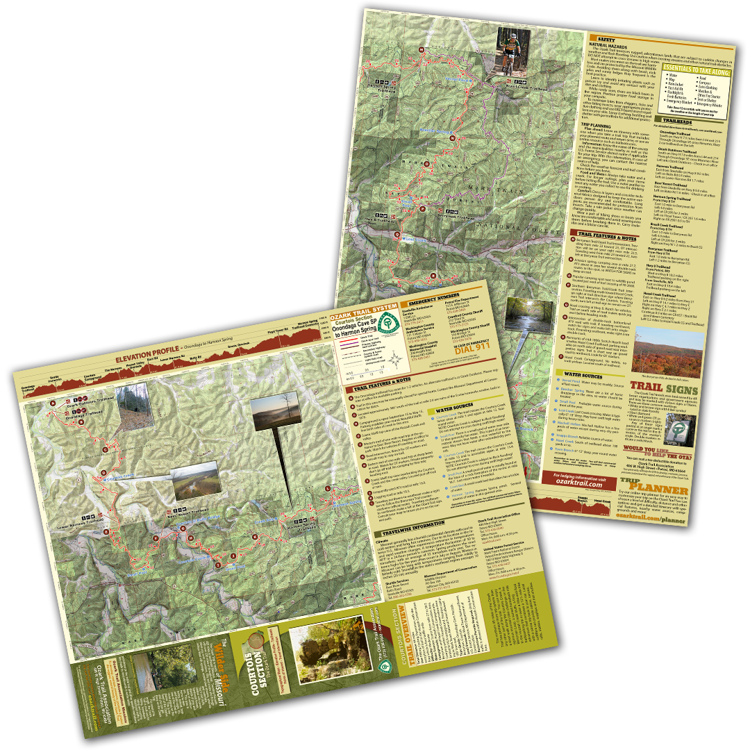
A good trail and a good map go hand-in-hand, and we’ve mapped out each section of the Ozark Trail for you! Our topographical section maps include elevation profiles, trailheads, points of interest, traveler information and more. These high-quality maps are printed on waterproof and tear-resistant paper.
The Courtois section map covers the northern 48 miles of the Ozark Trail, which has perhaps more trip options than any other part of the trail. You can enjoy a short walk along the Courtois Creek, a vigorous mountain bike challenge on the Berryman Loop, a sunset horseback ride to the Huzzah Creek bluffs, a long backpacking trip or even a hike-and-float adventure that combines a 121/2 mile hike with a canoe trip back to your car. Local outfitters can provide cabins, canoes, rafts, stables, supplies and trail shuttles.