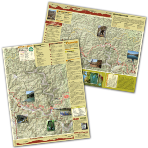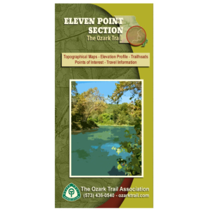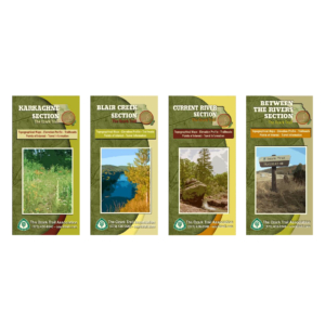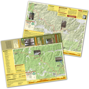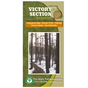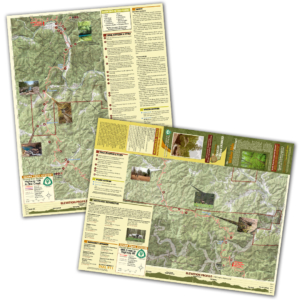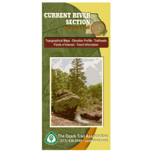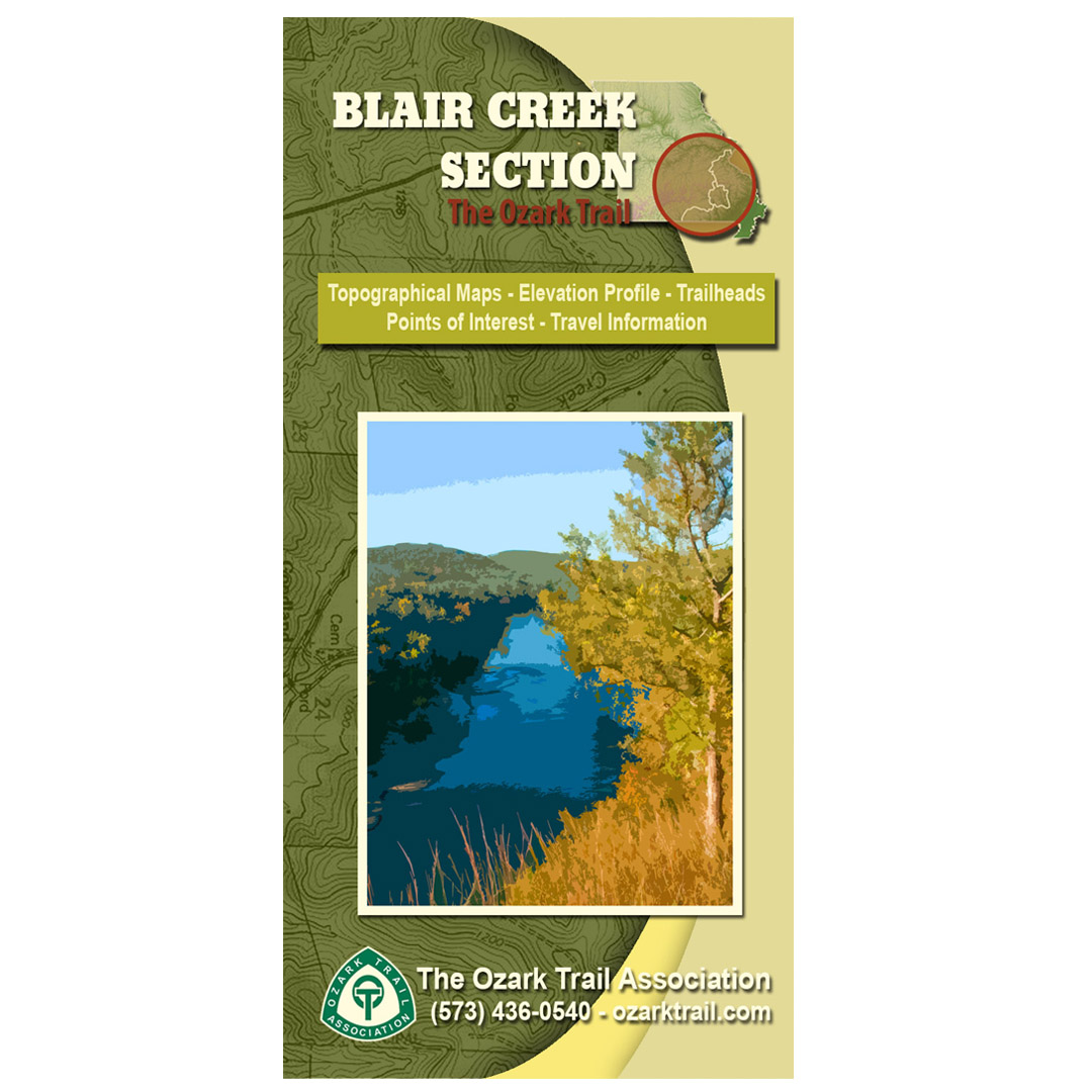
Description
A good trail and a good map go hand-in-hand, and we’ve mapped out each section of the Ozark Trail for you! Our topographical section maps include elevation profiles, trailheads, points of interest, traveler information and more. These high-quality maps are printed on waterproof and tear-resistant paper.
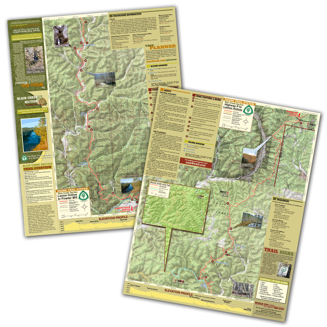
This section of the Ozark Trail passes through the Roger Pryor Backcountry on its way to the Current River at Owls Bend. The northern six miles of trail follow a major ridge line that divides Big Creek and Blair Creek. It then leaves the ridge and enters the watershed of Blair Creek. The trail follows Blair Creek southward as the creek carves a long, deepening valley in its descent to the Current River. Old home sites, springs, and reverting fields clad with wildflowers dot Blair Creek Valley. The trail slowly makes its way to the bluffs high above the Current River and to the most outstanding views of the river along the entire trail.