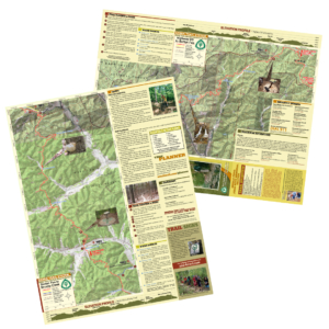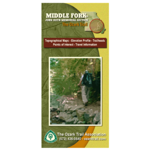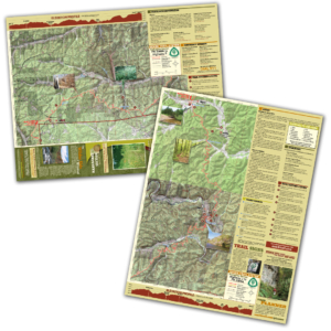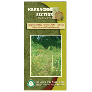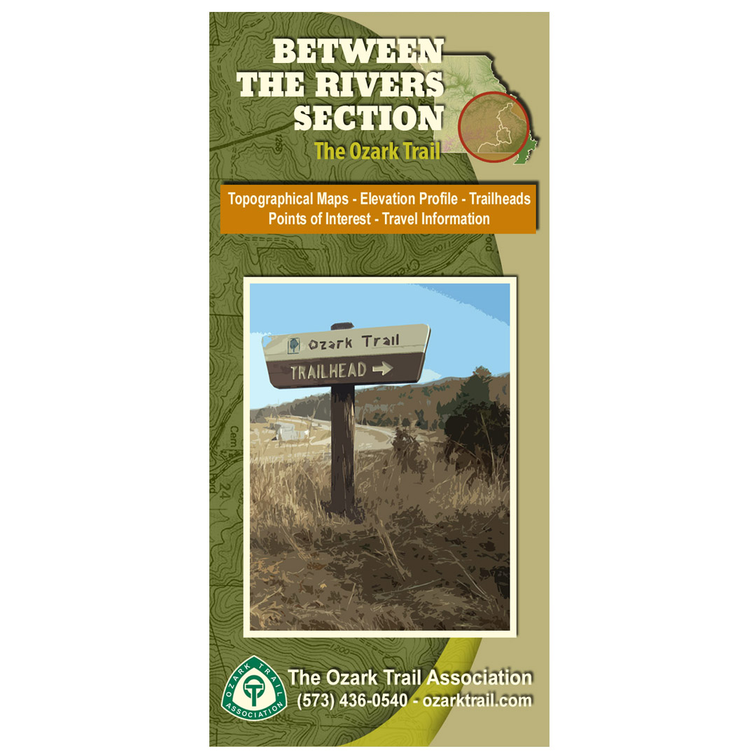
Description
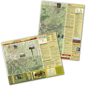
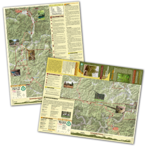
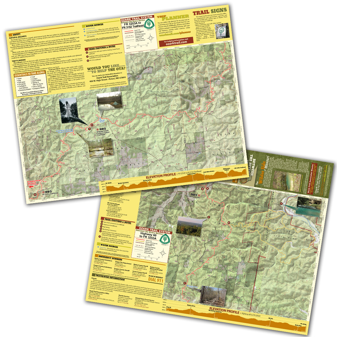
A good trail and a good map go hand-in-hand, and we’ve mapped out each section of the Ozark Trail for you! Our topographical section maps include elevation profiles, trailheads, points of interest, traveler information and more. These high-quality maps are printed on waterproof and tear-resistant paper.
The Between the Rivers section of the Ozark Trail wanders among various tributaries of the Current River with plenty of hollows and drainages to explore. It’s magnificent in the fall as the colors of white and scarlet oak burst out against the pines and you can see the countryside surrounding you. As the section closest to the Ozark National Scenic Riverways, no trip on this part of the trail is complete without a visit to Big Spring, north America’s largest with an output of more than 280 million gallons a day. Big Spring State Park offers camping and a restaurant serving home-cooked food in season for a break from the trail. The Devils Run area offers a stream locally renowned for fishing largemouth bass and trout along with a deep pool and lichen-covered rock formations. For meandering through a classic Ozarks environment, Between the Rivers can’t be beat.